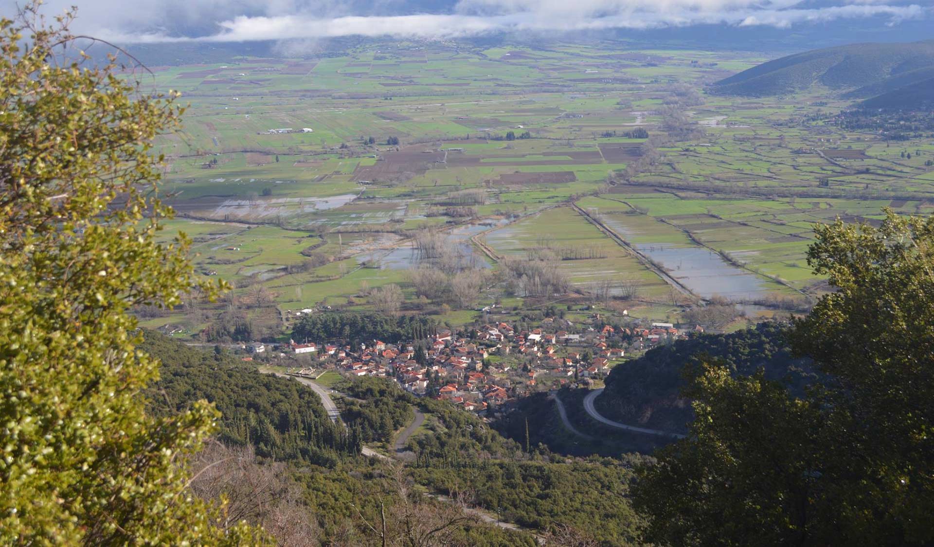

Polydrosos – Mantamia Waterfall
Route description
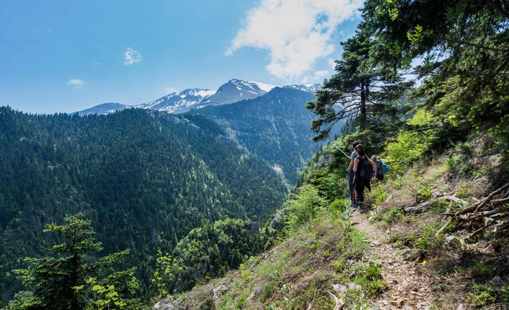
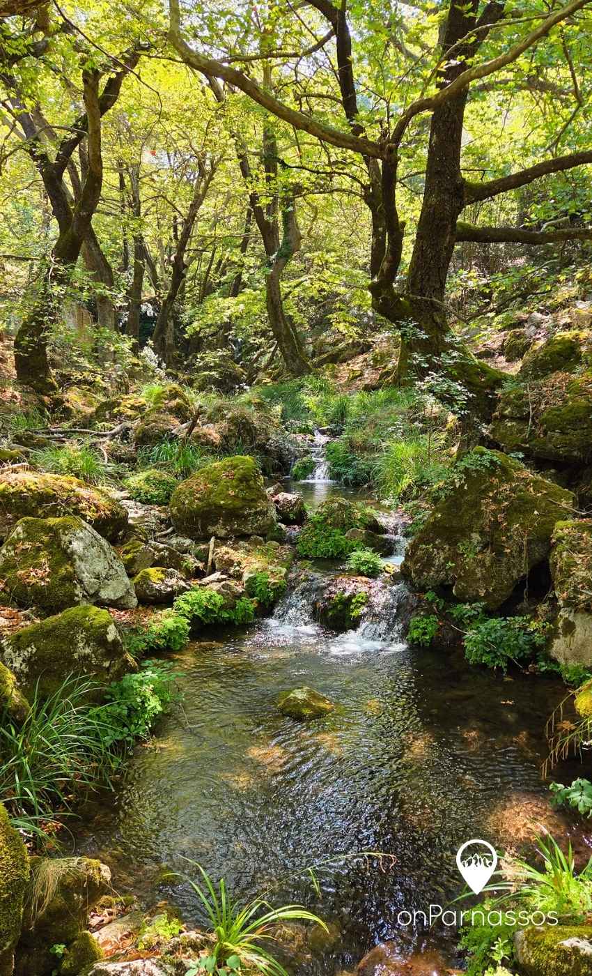
The route from Polydrosos to Mantamia Waterfall is a beautiful, easy hike through a lush forest filled with plane trees and running water.
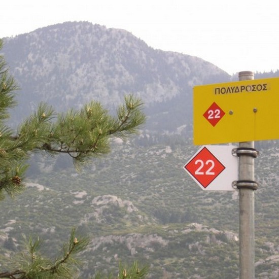
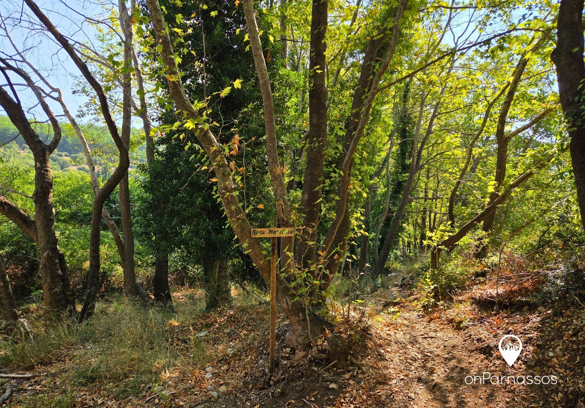
Starting from Polydrosos Square, follow the road next to Kentriko Café towards Naiades Village. Shortly before reaching it, you will see a sign directing you to the entrance of the trail.
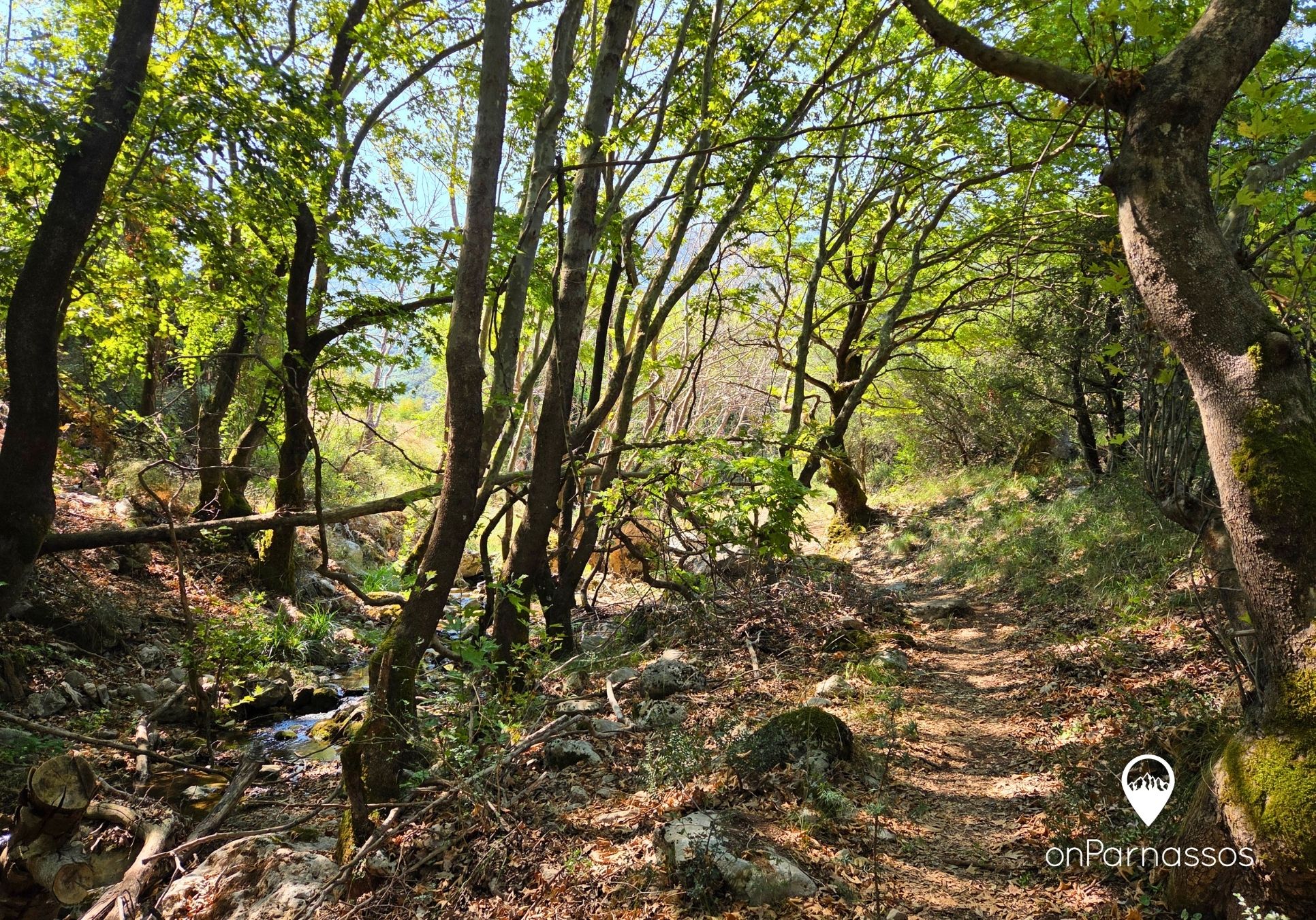
As of 2026, the waterfall is accessible via a well-maintained dirt trail with a gentle incline.
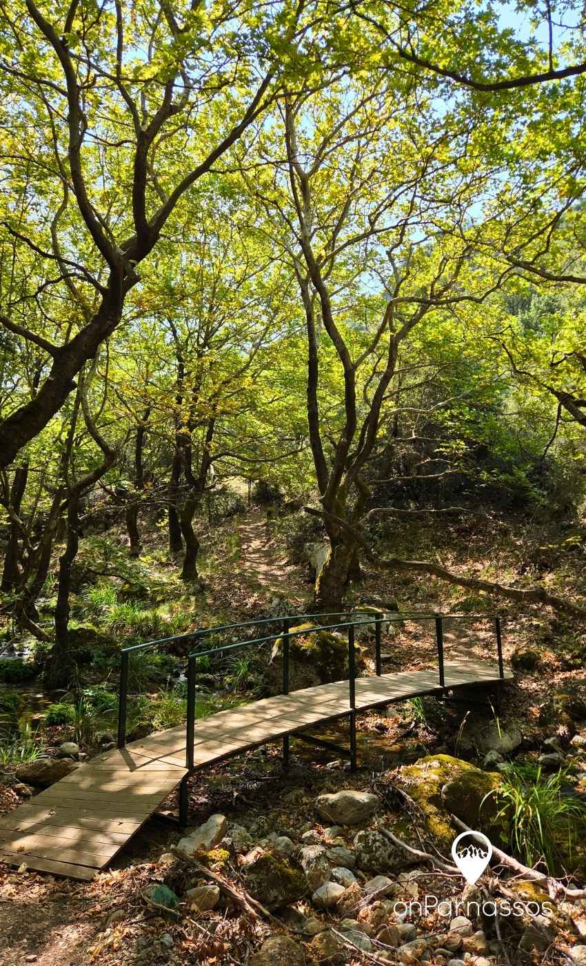
The route is approximately 2 km long and runs beneath the dense shade of the plane trees, crossing several small wooden bridges and offering a particularly pleasant walk through nature. It takes around 30–40 minutes to complete and is also suitable for families with children.
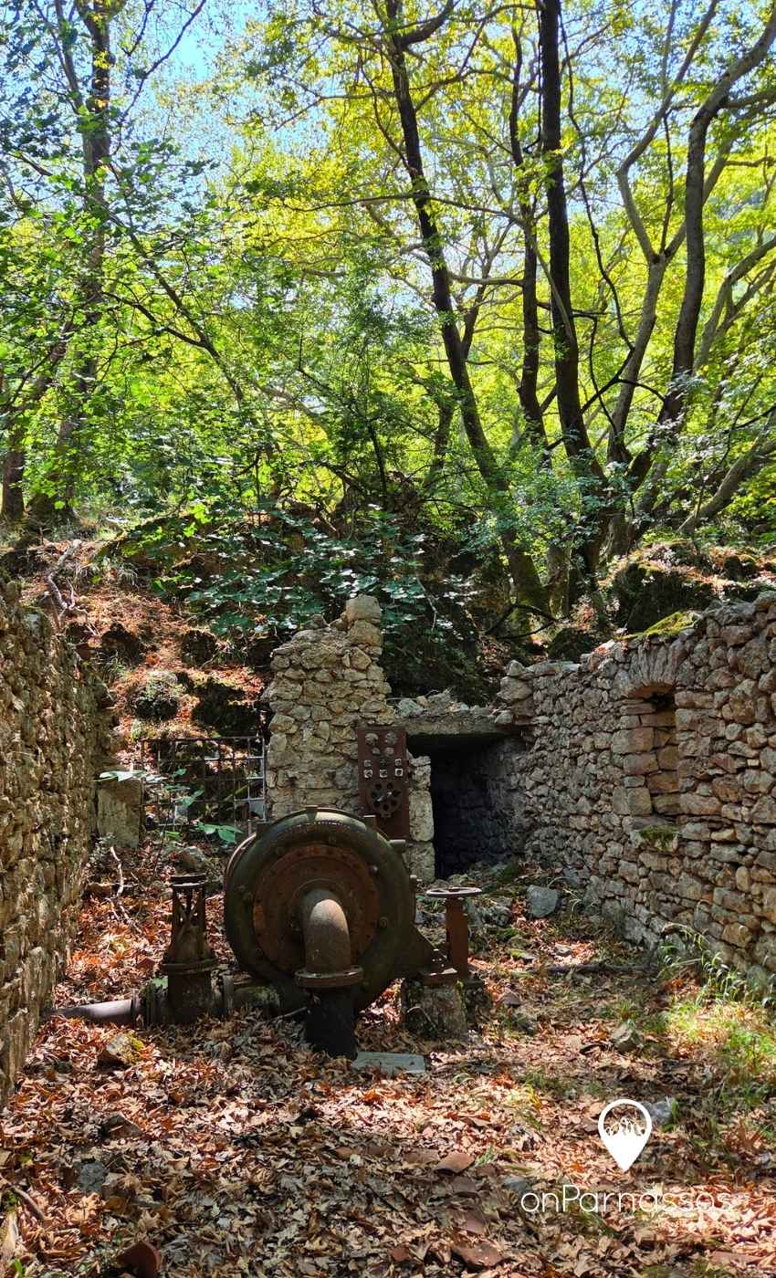
Shortly before reaching the waterfall, you will come across the ruins of the historic hydroelectric power station built in 1924, which once supplied Polydrosos with electricity.
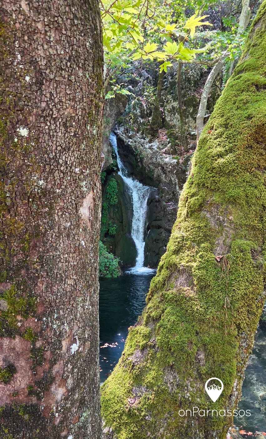
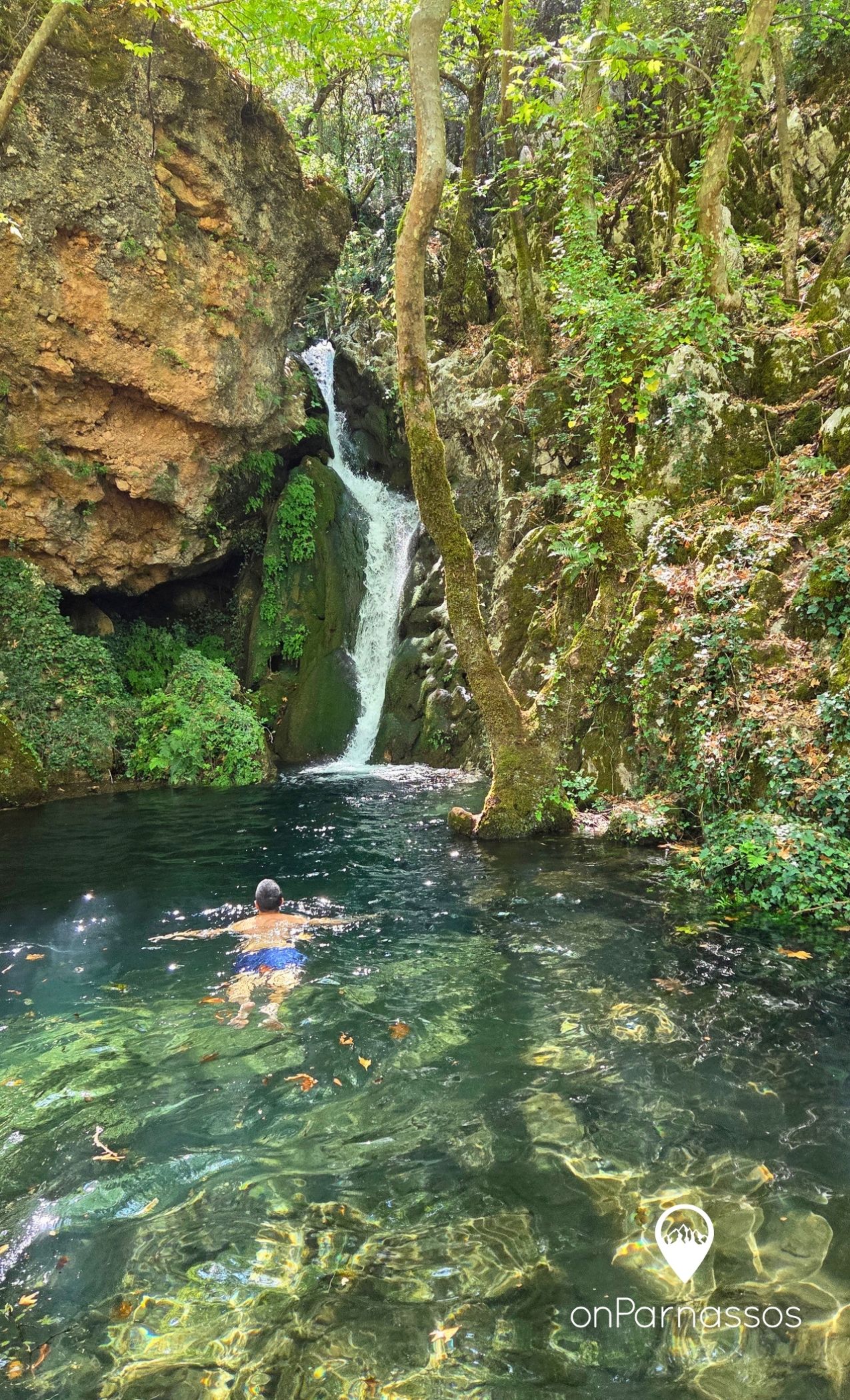
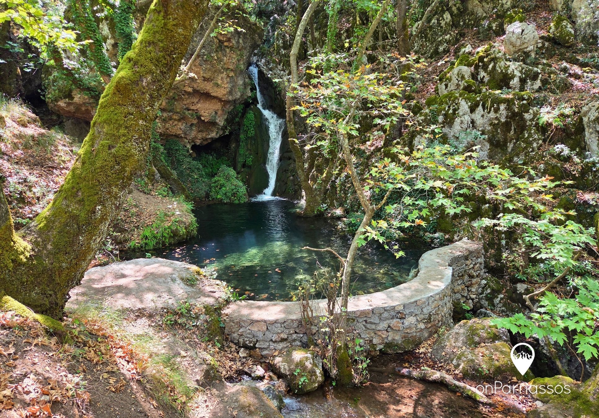
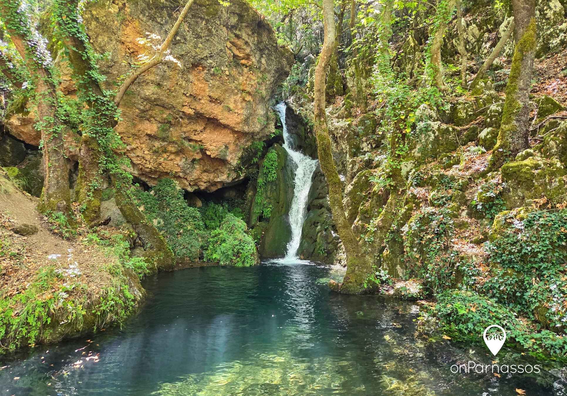
A small natural pool forms at the base of the waterfall. In 2026, the local authorities constructed an artificial barrier, enlarging the “pool.”
Sports or hiking shoes are essential, and you should carry water with you.
Caution: The water is freezing cold, with temperatures ranging from approximately 4°C to 7°C. Visitors enter the water entirely at their own risk.
*Many of the route files hosted on onparnassos.gr are provided by third parties. Visitors use this information at their own risk. Onparnassos.gr accepts no responsibility for the accuracy or use of the published information. Despite efforts to verify the reliability of the data, route measurements may contain errors or discrepancies caused by poor GPS signal reception when the files were recorded. Users should follow the official trail signs, avoid overestimating their abilities, remain informed about weather conditions, be familiar with basic traditional mountain-navigation techniques and carry the necessary mountaineering equipment.
Route Map
Other routes